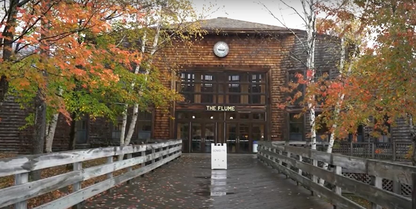
The Flume is a natural gorge extending 800 feet at the base of Mount Liberty. The walls of Conway granite rise to a height of 70 to 90 feet and are 12 to 20 feet apart. The Flume Trail is a 2-mile loop starting at the check-in booths located in front of the Flume Building.
Greg Keeler – Marketing Director – Franconia Notch State Park – 00:03 – My name is Greg Keeler. I’m the marketing director for Franconia Notch State Park, Cannon mountain and the Flume Gorge. The Flume Gorge has been an attraction since the early 1800s. It’s the southern end of Franconia Notch State Park, which is roughly a 7000 acre State Park surrounded by national forests. This is a pretty unique space. It’s a two mile loop. That’s a nature walk with great gravel paths and boardwalks. Right now we’re running as a two mile loop and you end up back here in the Flume Gorge Visitor Center.
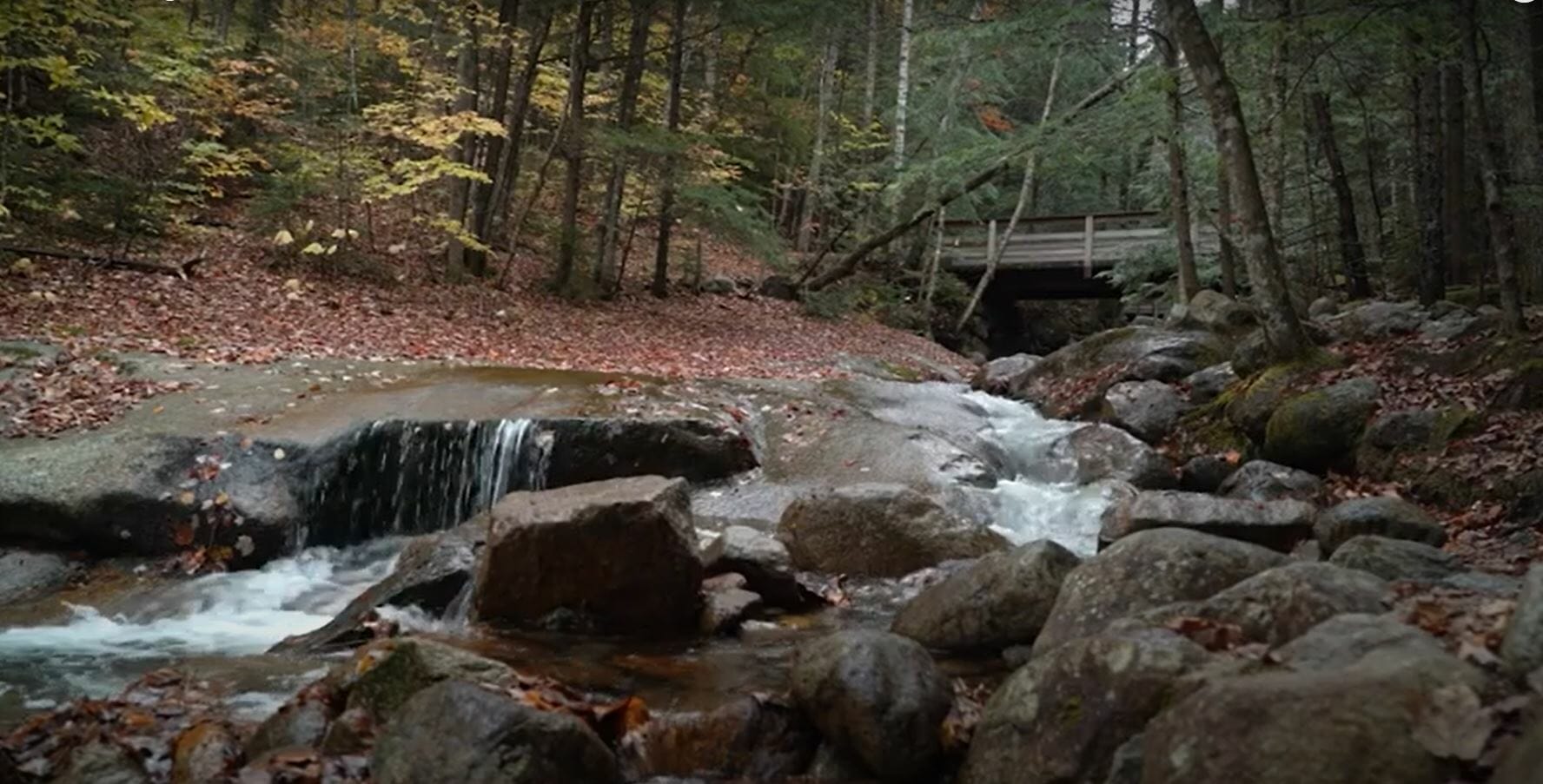
00:35 – Once you start on your trip through the flume gorge essentially starts at the Visitor Center and goes out towards the flume gorge historic covered bridge. It’s said to be one of the most photographed covered bridges in the state, and you can see why it’s a beautiful bridge. And once you get to the flume gorge you come across the flume Brook which runs through the gorge, and the way that the gorge was actually formed was it was a basalt dike, that’s a strip of basalt that softer than the granite around it. And over time that got worn down and essentially cut into the shape of a gorge.
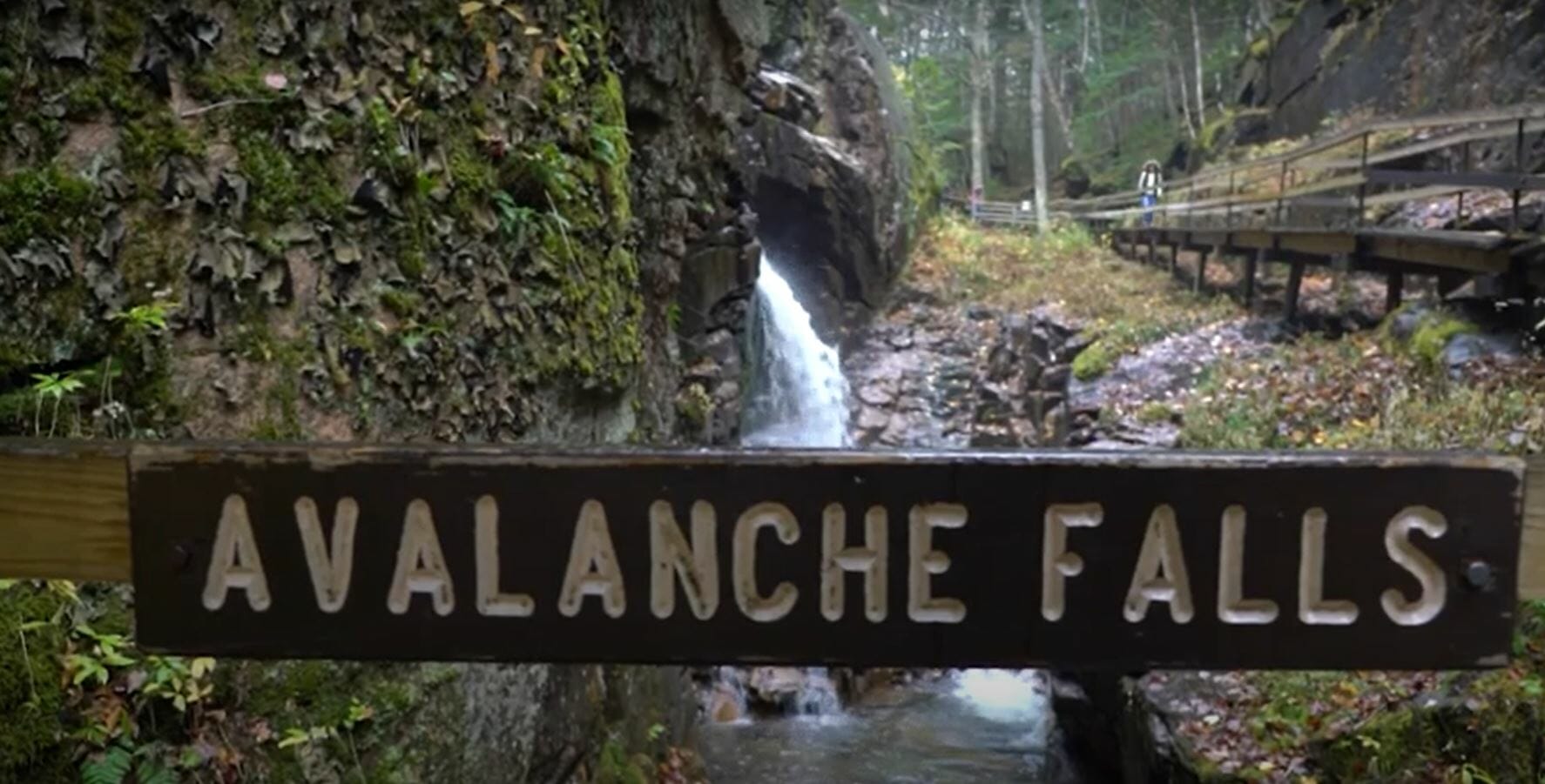
1:12 – Once you start your way through the gorge, you’re essentially on a boardwalk in the early days that was very crude, sort of improvised boardwalks that looked really sketchy. We’ve done a little bit better than that, you go up to 152, stairs and a couple of staircases, and you eventually get to a waterfall that’s just ahead of the big one, and then you come around the corner, you see avalanche falls. And that is the brook just coming right down into the gorge. And that’s 45 foot waterfall that’s spectacular anytime a year.
1:52 Then you start on your way over to Liberty gorge, and in the process of getting over there, there are a few different little viewpoints where you can stop and look at the surrounding mountains, and then you sort of make your way down towards Liberty gorge and the Sentinel Pine Bridge. That’s a pine bridge from the 1800s that was built on top of a fallen pine tree. The story was that the king would send soldiers over to these regions to harvest what were called King pines that were giant pine trees that were used for shipbuilding. And the story goes that there was a hurricane that knocked over one of those pines across the gorge, and eventually they decided to build a bridge on top of that tree. There’s a little side trip where you can go out onto a little landing, and you can actually see that giant pine tree that’s underneath that bridge when there are almost endless photo opportunities right there.
2:46 – We do have plans in winter time to open it up to visitors as more of a self guided walk through the woods. In the wintertime that water keeps running. And so when it freezes, it builds up upon itself all winter long. We have a six foot thick ice wall that runs all the way up to the top of the gorge a giant icicle that attracts ice climbers in the wintertime. It’s really spectacular actually to see the Gorge in winter. Right now we’ve gone to a reservation system. It’s recommended that you get a reservation in advance so you can secure your spot and make sure that you that you get in.


